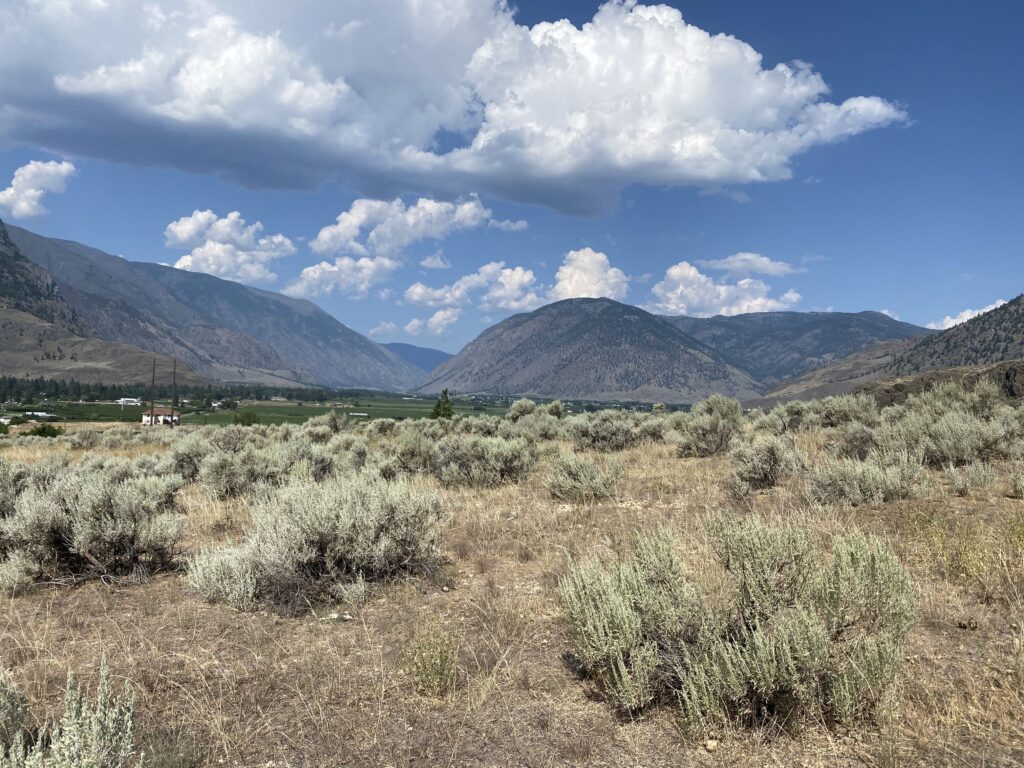
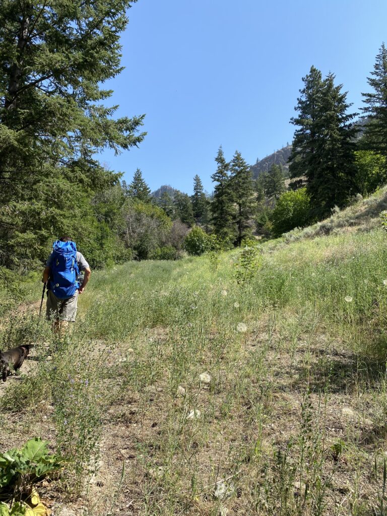
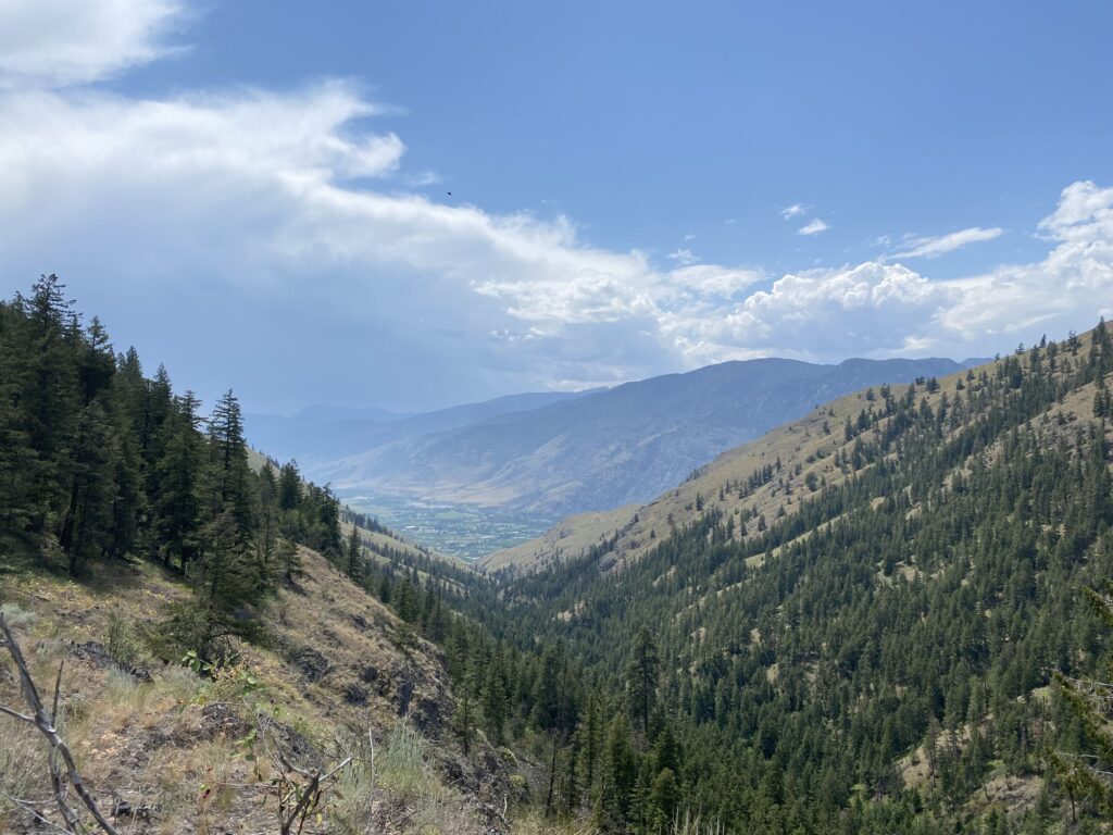
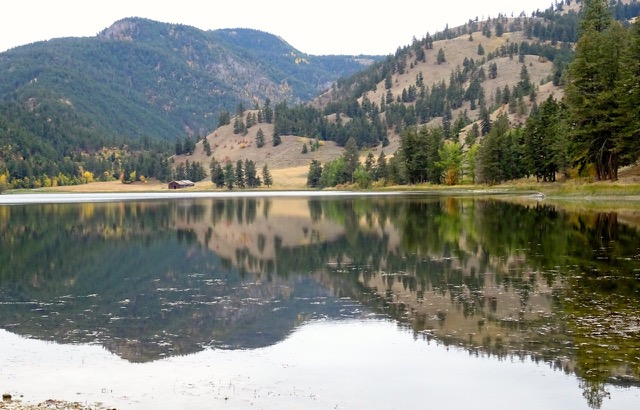
The Barcello Canyon hike on Sunday, July 9 above Cawston is the outing that was aborted at the end of April due to high water in the creek. (Directions: Turn left off Hwy. 3 onto Daly, cross Upper Bench/Barcello Road and park along fence where Daly takes a right turn.)
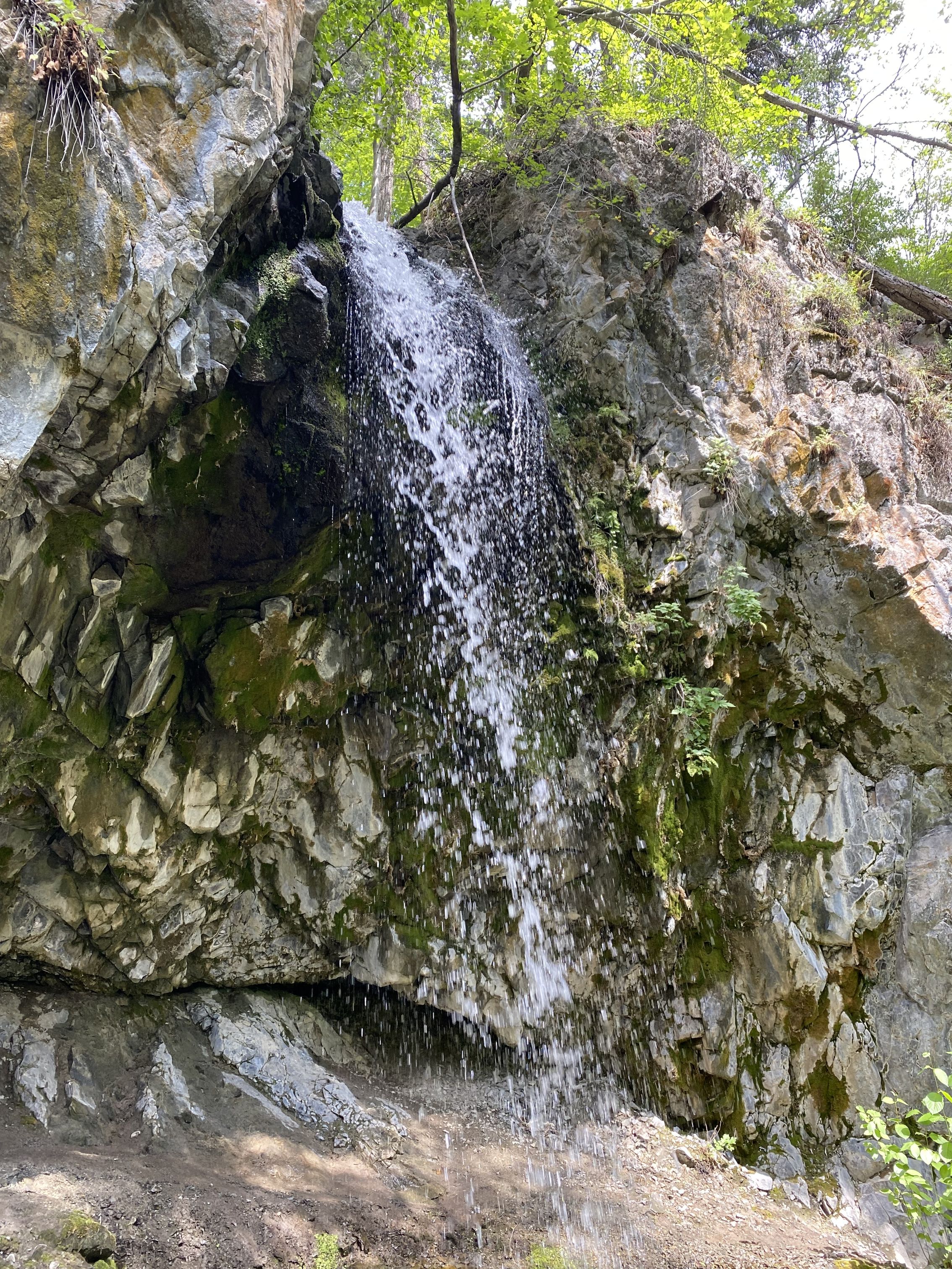
We met at Riverside at 9:00 a.m. to carpool to trailhead which took about 50 minutes. The hike is approx. 6 km (4.3 to the Falls) to the valley viewpoint. Everyone enjoyed the cooler shaded hike along the creek. We ate our lunch near the falls and climbed up to the ledge behind the falls which is always a highlight!
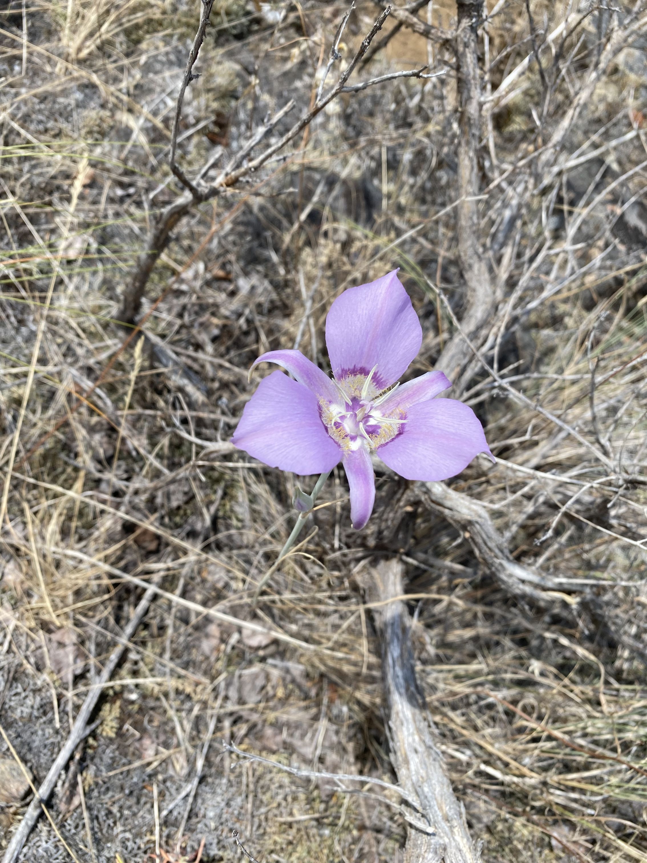
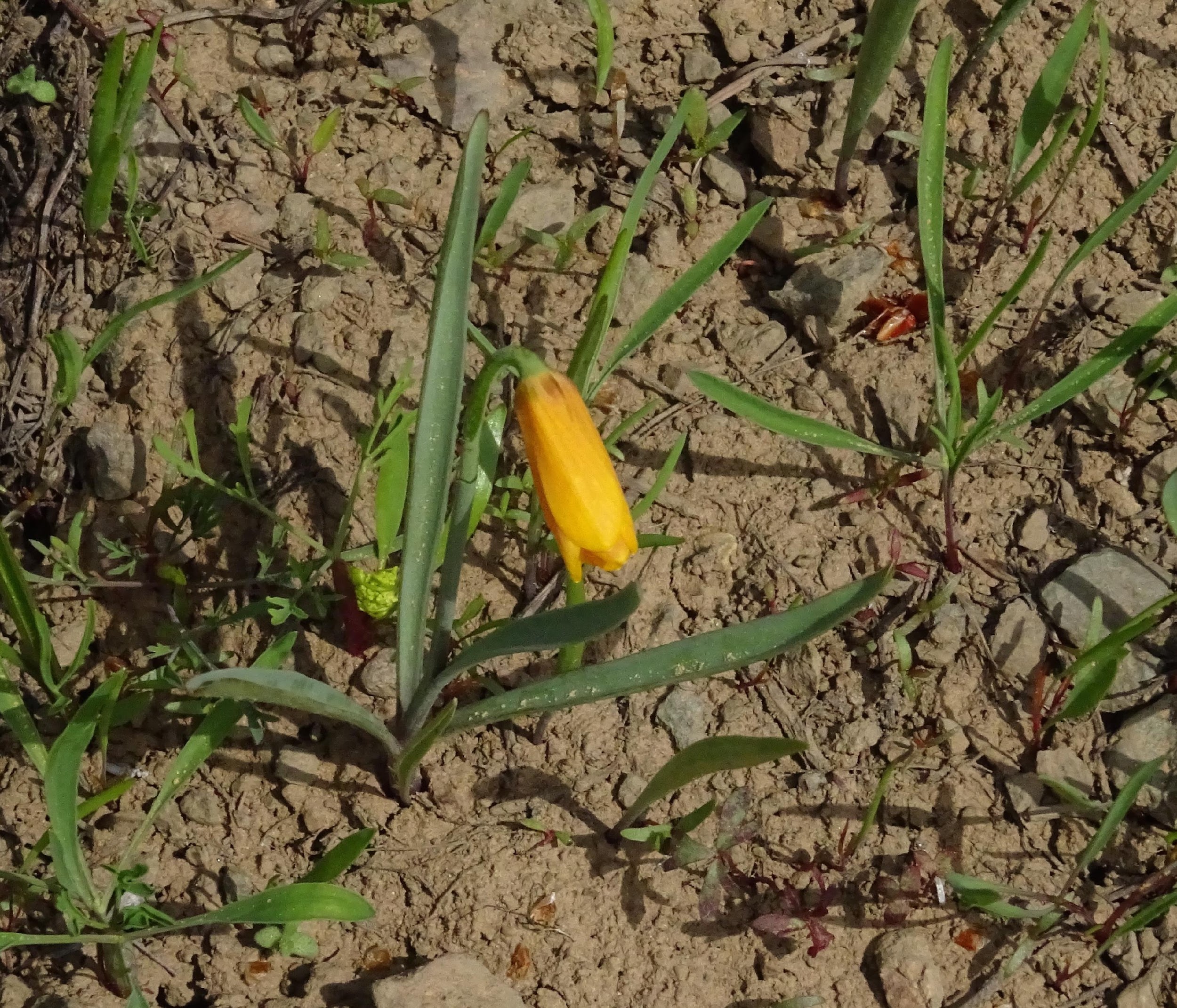
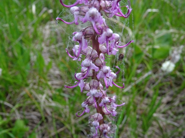
Then we pushed on to the viewpoint, a very open hot, dry spot where an amazing mariposa lily was in full bloom. The view south over Cawston and the Similkameen Valley revealed storm clouds moving in. We arrived back at our cars just as the rain was starting.
It’s a moderate uphill trail with about four crossings of the creek which didn’t present any difficulty at this time. VFFN has done this hike numerous times over the years with varying challenges in water crossings.
Submitted by Johanna Nott
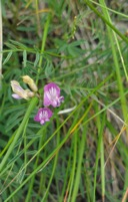
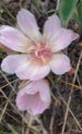
Looking west up Similkameen Valley from trailheadFritillaries on alfalfaOne of the open areasThe waterfallView from the “top”Sagebrush Mariposa Lily
What an outing! We didn’t find the road to Crater Mtn.; but in the attempt to do so, we experienced an adventure in negotiating the 18 deep water bars that barred travel to the higher alpine on the logging road we were on. The day was clouded and Crater Mtn. was covered in mist. Once the mist temporarily lifted we could see that we were in the wrong place but not too far “as the crow flies”. Our objective then became going up a steep incline that led yet to a higher point and in doing so hiked through meadows covered in a smorgasbord of flowers with spectacular views of the Similkameen Valley below and other areas of interest that surrounded us.
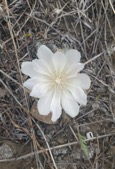
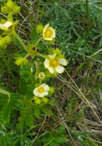
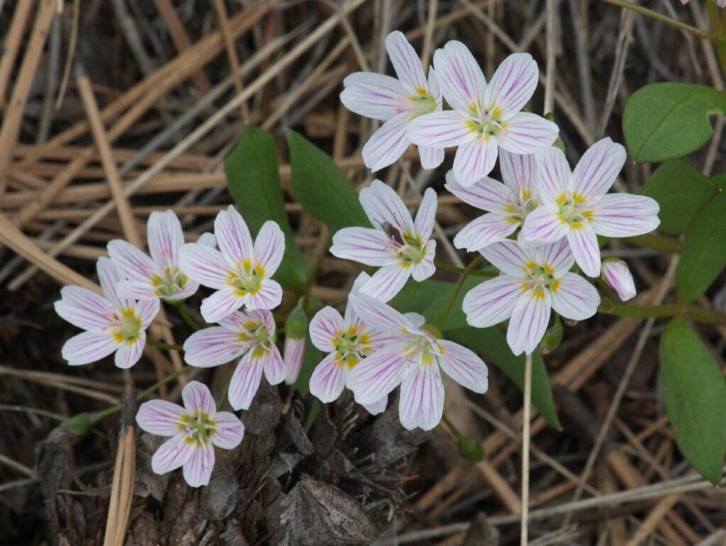
We had a lovely hike today. We took a leisurely walk and stopped and admired the many flowers emerging. These are tiny and one has to stop and look closely at them, otherwise, the beauty of them is lost. Amongst some that we saw were the Spring Beauty, Narrow-leaved Desert Parsley, Large Fruited Parsley, still some Sagebrush Buttercups, Yellow Bells, Small flower Blue-eyed Mary, and Small flower Woodland Star.
Photos by Mary Masiel
The day was lovely and we look forward to another hike on May 15, 2022. Hope you can join us.
Six of us drove up the Copper Mountain Road and parked by the Allenby Turnoff. Cossing the road we donned our snowshoes and set off for Timberhill. We stood on the snowy road edge and didn’t sink in and thought this would be easy to snowshoe. Ten feet away from the road we sank in about six inches! We followed some vehicle tracks up the dirt road until the driver had given up and turned around. We heard a small flocks of birds high in the trees and recognized Siskins and Goldfinches. Crossing under the power line we stopped at the first clearing to take in the expansive valley view over the grasslands. Higher up the trail we saw a female Red Crossbill in the tree top. We zig zagged up onto the open ridge with its spectacular views over the valley. The sky was blue, no wind, and it was really warming up when we stopped for lunch. We sat on pine needles where the snow had melted, and sunbathed! Suddenly, we heard a repeated low whistle, and we asked “what was that”? After some exploration, looking up at the treetops, Jason spotted a Northern Pygmy-Owl. It sat at the top of a pine tree calling out and being answered by another down in the valley. We all got a really good look at it.
Photo by John Henry
According to the Lahaies the following birds were heard or seen on this outing, a total of 16 species.
Clark’s Nutcracker
Northern Pygmy-Owl
Pine Siskin
American Goldfinch
Red-breasted Nuthatch
White-breasted Nuthatch
Red Crossbill
Brown Creeper
Mountain Chickadee
Hairy Woodpecker
Golden-crowned Kinglet
Canada Jay
Northern Flicker
Cassin’s Finch
Common Raven
Stellers’ Jay
It is always so nice to have knowledgeable people on hike with you.
On the way down we stopped and looked at old snag which was twisted all the way up. We were mystified by its appearance? What could have possibly cause this freak of nature? Back home going online I discovered the reason. Apparently, trees that twist are much stronger in windy exposed places. Also in water restricted areas they can better supply all the tree with water rather than just one side. A more detailed explanation will be given in the next newsletter.
It was a beautiful snowshoe hike on an absolutely perfect Spring day!
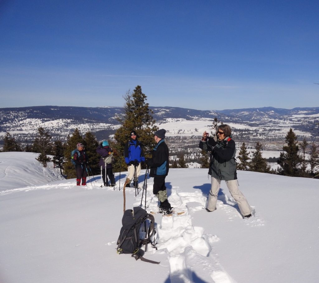
The meeting place at Billy’s restaurant was deserted at 9:30 on Sunday and I was about to leave when a couple showed up from half way between Princeton and Merritt. I was going to go on my own, anyway, so I was pleasantly surprised to get two participants! We arrived at the longhouse and low and behold another guest from Merritt and local member Rod showed up. Well, now we were an organized group for snowshoeing!
We started up the hill under a blue sky, with tremendous views of the Similkameen Valley, as far as Nickel Plate mine and Apex mountain. Entering the trees, we noticed how the dripping snow off the branches had frozen overnight onto the ground, not a good condition for ski-ing. We soon gained the Ridge, and we were amazed at the scenery towards the Three Brothers from the top of the first rocky outcrop .
There was a slight crust on the undisturbed snow and yet even so we saw mouse tracks in addition to lots of deer. A couple of snowshoe hare tracks but no lynx tracks that I found a few days before. It must have moved on. We crossed the ski trails at the top of “Fence Fun” where I had removed a small deadfall tree the previous day and continued through the few giant standing Douglas fir and crossed the “2010” trail. Here the snowshoe trail had been flagged away from the ski trail to avoid any conflicts. We followed the flagging through thick natural “regenerated” growth to the bottom of the draw. I remember when this area was logged over 20 years ago; all the trees were tiny and too close together. We emerged into the draw and broke trail in almost 2ft. of powder, up the steep slope open slope and across the “Burn Road “ski trail. Again following the flagging uphill through the powder, we finally emerged into the snow covered “meadow” which is mostly slabs of solid basalt that doesn’t allow the growth of trees. The picnic table was cleared, a roaring fire was lit, and sat around and told fascinating tales of accidents and parasailing. You should have been there!
On our return trip we saw a couple of deer running away, and a few mountain chickadees and nuthatches. On the way back we took the “Owen” trail after Fence Fun that led through the intermediate ski-hill and onto the old “Bunny Hill”. From our vantage point on top of the old ski hill we were amazed to see the parking lot absolutely full and the cabin and toboggan hill overflowing with people out enjoying the beautiful warm day. We are so lucky to live in such an amazing area with outdoor recreation for everyone.
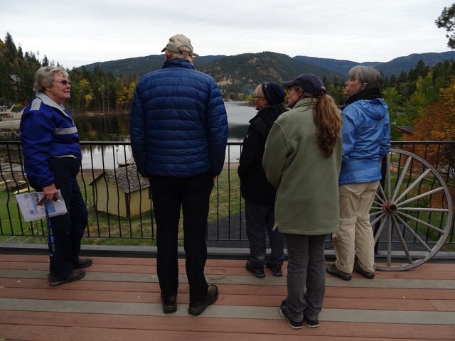
Coral Brown’s tour of the Twin Lakes Watershed was interesting, informative, and educational.
Photo by M. Masiel
What this area faces is the challenge of using its limited water resources judiciously. It is a problem that will become more relevant as communities push “progress” that often leads to more population and more industries using a finite resource—water.
The Twin Lakes area faces development that would adversely affect the water quality for all those involved. Developers can only envision profit and often are neglectful of consequences involved with those visions. In this instance, this is the problem. The owner of the Golf course proposes an expansion by building a secondary village that would have all the amenities, such as store, restaurant, pool, etc. It would also build 200 condos or dwellings.
Driving through this area on the highway from Keremeos we encountered a creek along side the road, then Yellow lake, followed by Trout Lake (behind the store and gas station). One has no idea that there could be a water shortage! Yet Yellow Lake drains towards Keremeos, but Trout Lake which is very shallow depends on the aquifer. So does all the development; golf courses, and subdivisions depend on one tiny creek in a semi desert area, Horn Creek located south of the golf course and not visible from highway 3A.
The water source for this area begins with Horn Creek which starts at Orofino Mountain and which then flows into Horn Lake. From there, a small amount flows down the valley towards White Lake. Another tiny channel leads to the north and into the Lower Twin Lake area. This tiny channel (only three feet wide and a few inches deep), is all that keeps the aquifer resupplied. Obviously it cannot support more “development”.
According to Coral Brown, “It is all a matter of Water In and Water Out and how much is safe to use before depleting the aquifer to an unsustainable level. Since there is no other source of water to the Twin Lakes Area the precious aquifer must not be drawn down more than 30% of the recharge. If the water drawn is greater than 30% of the recharge then it is estimated that the alluvial aquifer will begin to collapse and the water storage will be greatly reduced.”
We were taken to different viewpoints to see the areas affected by this aquifer; although of course, the aquifer was not visible to the naked eye. Thus, we got a new and different view and knowledge of the valley than we wouldn’t have had otherwise.
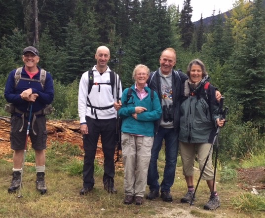
Six of us in 2 trucks headed out on Saturday morning at 8:00 am to Illal Creek turnoff along River Road. The water bars on the Illal track leading into the Kelley Peaks parking area continues to require good driving skills.
Photo by Lorraine Stubbins
We began our hike at 9:35 through water-laden forest. Clouds skittered across an unsettled sky and developed into a Scottish mist as we reached the plateau. The peaks were obscured in clouds unfortunately but views of the eastern valleys revealed several smoke plumes of ongoing forest fires. The plateau with its amazing collection of hardy flora, colourful rock formations interspersed with tarns, is a beautiful mountaintop expanse worthy of the visit. We explored a large snow drift for the pink snow algae and noted the lovely grouping of fushia pink monkey flowers along its edge. Then we sought shelter from the deteriorating weather of bitter wind/rain/mists to eat our lunches.
Photo by Johanna Nott
On our way down we met people hiking up to do an overnighter and felt that they may be waking up to a snowy landscape the next day.
We saw no bears or even grouse although the low bush blueberries were plump and plentiful. We all displayed purple fingers and lips from grazing our way along the trail. There were some interesting groupings of mushrooms on the lower parts of the trail, some of which were harvested by one of our group.
Everyone was pleased with the outing regardless of the lack of peak views. It whetted the desire to return in sunnier times.
The last time this hike was done there was snow on the ground and Cathy Lahaie even managed to do a snow angel! This time the alpine was in bloom. Some flowers were recognizable species; and others, although not new, hadn’t been seen this summer.
It was a perfect day for a hike; the skies were clear so the numerous mountain peaks could be seen, Tulameen, Skagit, and Skaist, and beyond Palmer’s Pond to the next rise, Outram, Hatfield, and even Golden Ears!
Photo by M. Masiel
At Conglomerate Meadows a group of horsemen caught up with us; they were there to leave water bars to stop erosion.
Some delightful flowers on show were White-flowered Rhododendron, Dwarf Marsh Violet, Northern Anemone, Alpine Speedwell, Elephant’s Head Lousewort, Rosy Twisted Stalk, White Mountain Heather, and many others.
Photo by M. Masiel
Palmer’s Pond is always a pleasure, but the distance, a dusty 2 hour drive, doesn’t always make it a desirable destination.
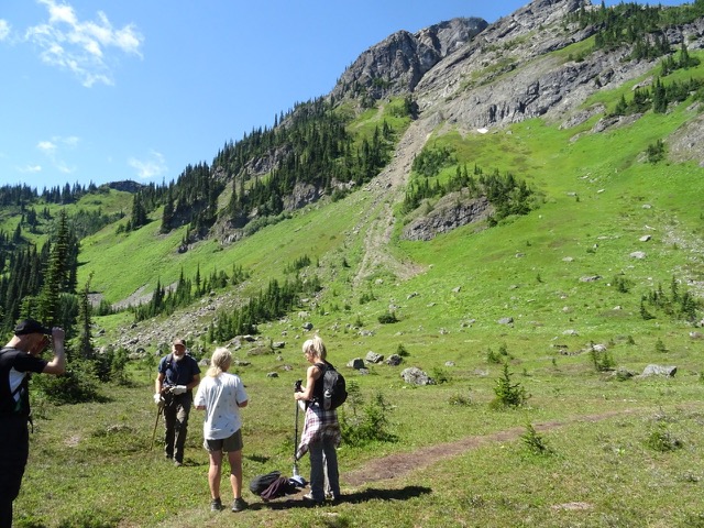
The six of us began a slow ascent of the steep glades above the Coalmont Road gravel pit. As we ambled through the pine grass, we came across the largest anthill we had ever seen! The ant’s equivalent of the Pyramids! Above this, we entered the steepest part of the goat trail through the rocky landscape. Time was spent last year looking for a safe way of negotiating these steep bits. We passed spreading dogbane (Apocyum androsaemifolium), heart leafed arnica (Arnica cordifolia), and thread leafed Phacelia (Phacelia linearis) before emerging onto the flatter summit area overlooking the Coalmont Road toward the West. Far below us, we could see the farm fields and meadows bordering the Trans Canada Trail or the KVR as it’s locally known. In the distance, loomed the Three Brothers in Manning Park.
Photo by M. Masiel
From this viewpoint, we took old logging roads through the Ponderosa pines. We stopped for a snack overlooking the smallholdings, farmlands, the distant town of Princeton and the Similkameen Valley, laid out before us! After lunch, John and Rod retraced their steps to pick up the cars and to meet us at the end of the road which finished at West China Creek Road. The clouds were threatening rain so the remaining party continued up towards the communication tower and then back down the zig-zag road to the West China Creek Road through beautiful grassy meadows.The rain stayed away and we all made it back alive, another great hike with the Vermilion Forks Field Naturalists.
Although, this hike was advertised as difficult, it can be classified as moderate with two difficult sections. The total time of the hike was four hours.
An excursion to the wetlands along highway 5A was a delightful little expedition, requiring little physical exertion. Many sites of interest captivated the viewer. Every field was filled with ponds due to the spring runoffs and these ponds hosted numerous bird species. We recorded 24 species, and the birds gave us an opportunity to stop and photograph them as they lazily swam by. Others were busy setting up nests and starting new families. It was wonderful! The Brown-headed Cowbirds were of interest because it is a bird that people talk about but which this writer has never seen. The wetlands at the junction of Otter Lake road and Hwy 5A proved to be disappointing. Usually this is an active area, but not this time. Birds had more choices available to them.
Photo by M. Masiel
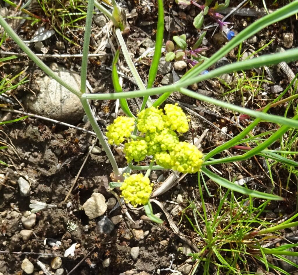
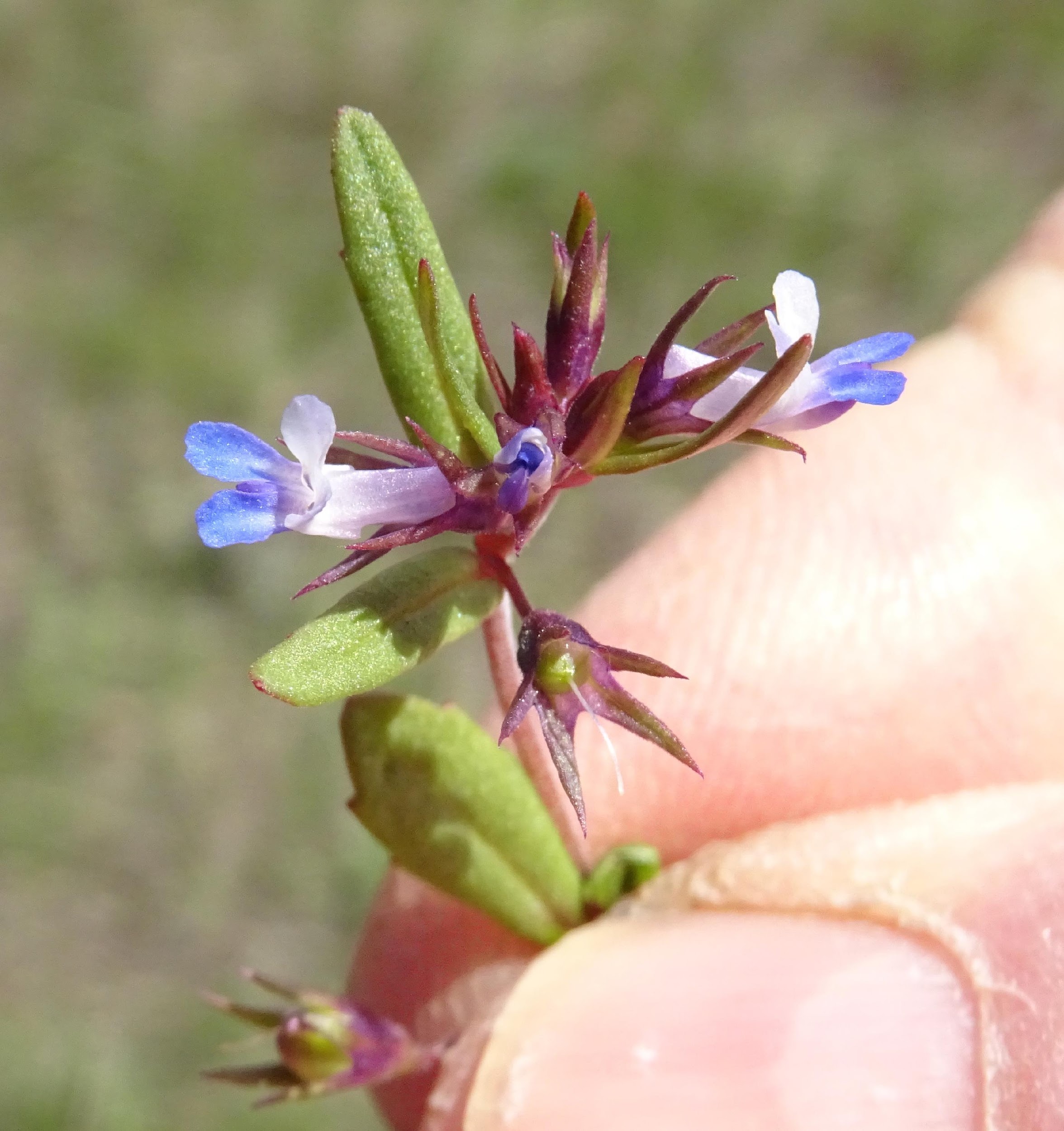
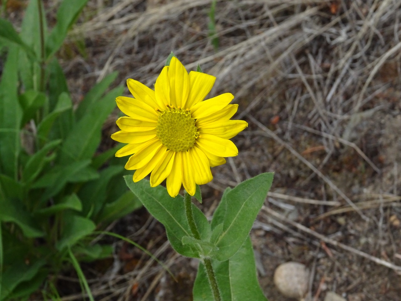
Kane Valley was a let down. This being the long weekend, camping units abounded around the lakes. However, we were enthused to see some lovely Chocolate Lilies, Small flowered Blue Eye Marys, Larkspurs, and Yellow Violets. We had lunch at one of the lakes then retraced our tracks by going back to Otter Lake Road. Here we fared somewhat better. Again spontaneous ponds everywhere gave an insight to different bird species. It was a tranquil road and very interesting, geologically speaking. From the plateau, the road descents through some ancient lava flows.
Photo by M. Masiel
We followed Otter Creek to where the old Thalia trestle used to be on the KVR. Here the creek expanded considerably due to the high spring runoff, further emptying into Frembd Lake, then on to Otter Lake. Tulameen gave us a rude awakening; we thought that we had entered a military zone. Small and big ATV’s crowded the streets and the noise level was deafening.
This was the first time that this outing has been done, and it is one worthwhile repeating again next year.